Welcome to Westwood
If your home search includes Westwood, Los Angeles, you will find great choices in a variety of neighborhoods and price points. The main zip codes of Westwood are 90024 and 90025. Please use our map search function under “search properties” for a property search in these or any other Los Angeles zip codes.
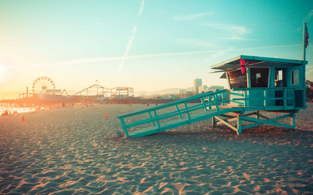
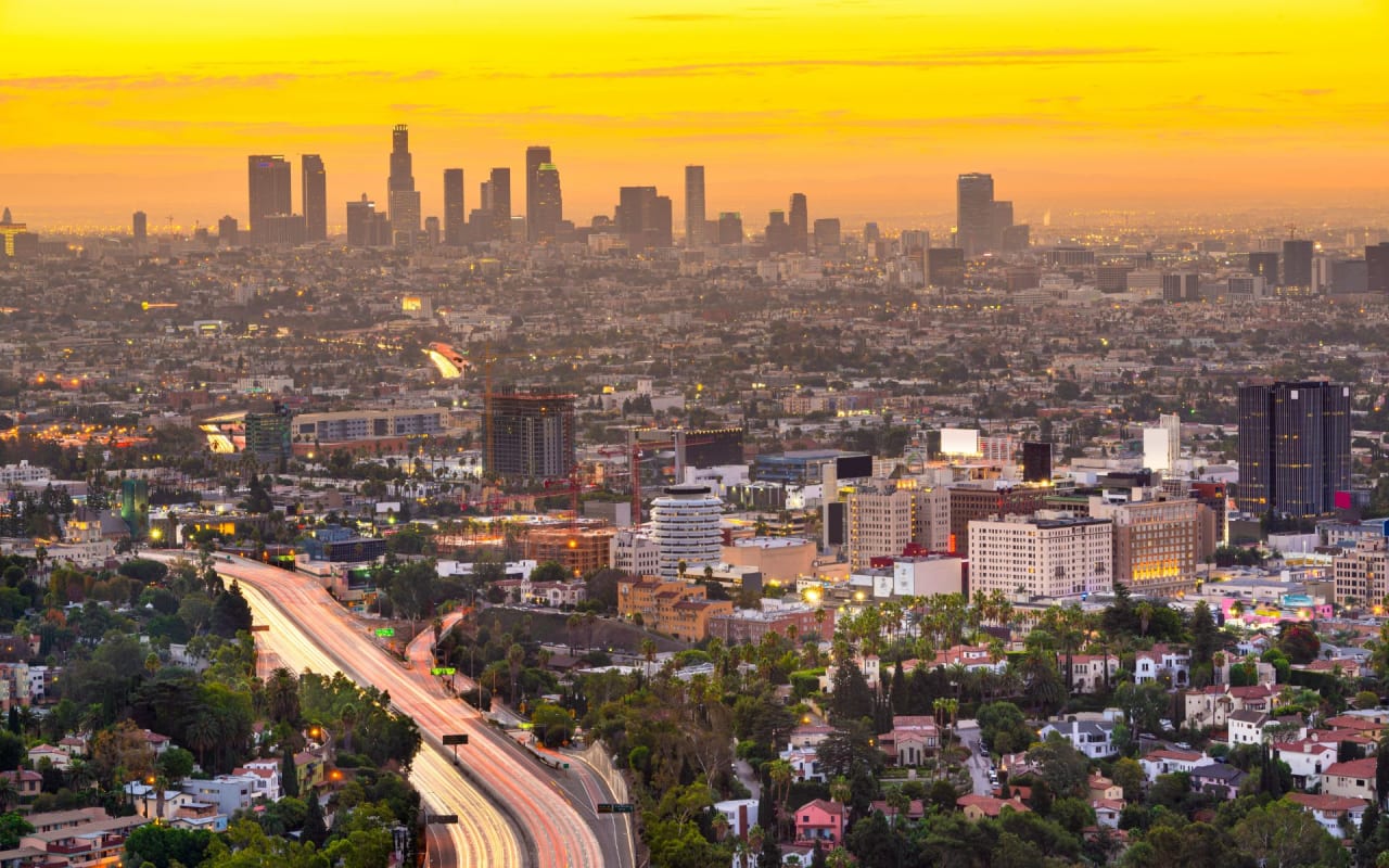
Centrally located in Los Angeles’s westside, Westwood is bordered on the west by Brentwood, Bel-Air to the north, Holmby Hills, Century City, and Beverly Hills to the east, and Cheviot Hills and Rancho Park to the southeast.
Westwood was born on the lands of the historic 3,000-acre ‘Wolfskill Ranch’, a property that was purchased in 1919 by Arthur Letts, founder of the Broadway and Bullock’s department stores. Arthur’s son-in-law, Harold Janss, vice president of the Janss Investment Company, inherited the land and developed the area in 1922.
Westwood includes the neighborhoods of Little Holmby, Westwood Hills, and the Wilshire corridor. Westwood is also home to UCLA and Westwood Village. The village offers wonderful opportunities for dining, entertainment, shopping, and learning.
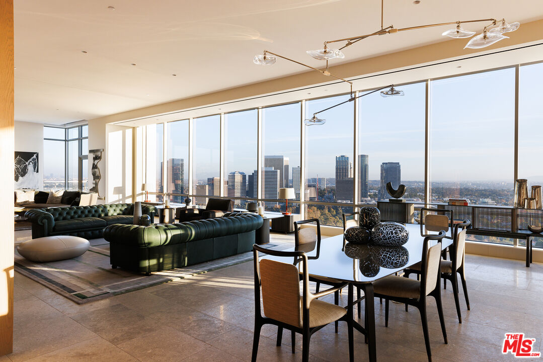
If you are seeking to rent or buy a condominium, Westwood offers the most condominium options on the west side. Luxurious high-rise condominiums line Wilshire Boulevard on what is commonly known as the Wilshire Corridor. Many of these are full-service, view buildings with amenities including pools, concierge, and 24-hour attendants. The corridor area also offers a wide variety of duplexes and low-rise condominiums.
Westwood elementary schools are highly rated and include Warner Avenue School, Westwood Charter School, and Fairburn Elementary. Whether your search is for a home or a condominium, Westwood offers some of the best properties in Los Angeles County. To determine which school services a particular address, The Los Angeles Unified School District, or LAUSD, offers a school finder.
Many buyer’s home search includes the neighborhood known as Little Holmby. Little Holmby is located in the northeastern section of Westwood. Its boundaries are South Beverly Glen Boulevard and Comstock Ave on the east, Wilshire Boulevard on the South, Hilgard Ave on the West, and Sunset Boulevard on the north.
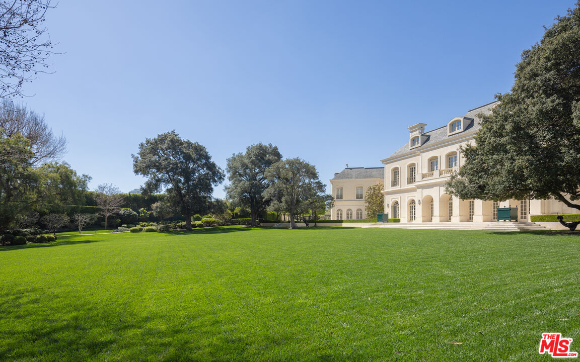
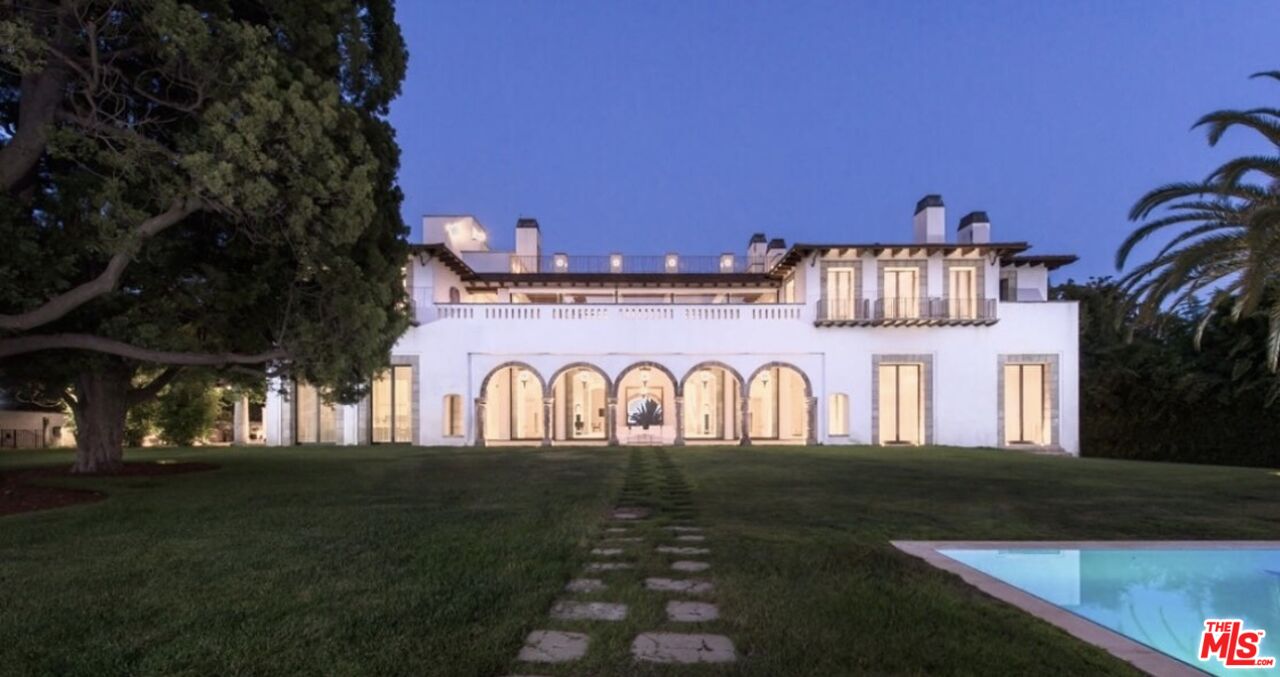
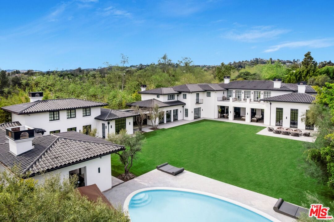
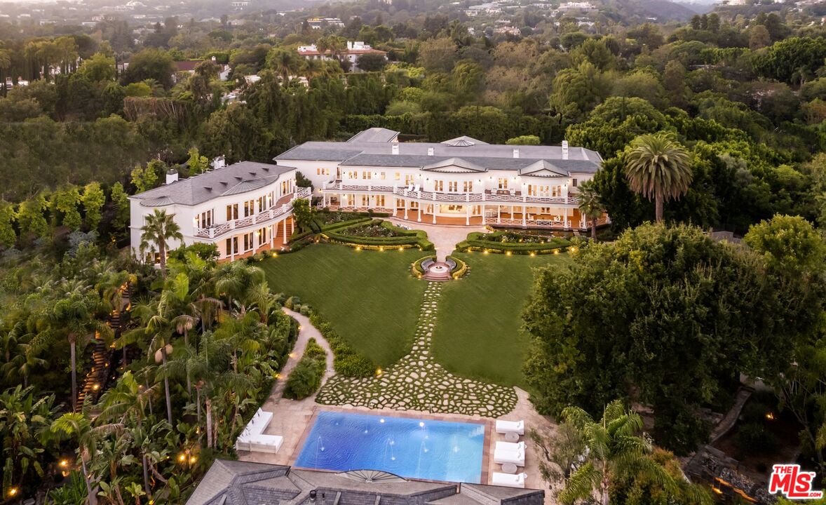
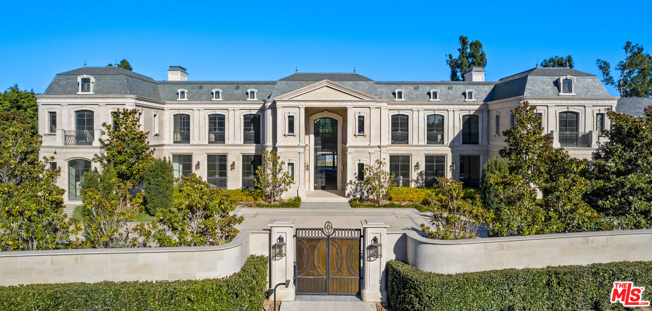
Little Holmby’s zip code is 90024Little Holmby was conceived in the 1920s ′s and features a variety of both traditional revival and mid-century style homes by some of the great residential architects of the 20th century including Paul Williams and Richard Neutra. Current and former Little Holmby residents include actors, musicians, and billionaire industrialists, and entrepreneurs such as Armand Hammer and Max Palevsky. Little Holmby is also known for its graceful tree-lined streets and a true sense of community. Little Holmby residents enjoy wide sidewalks, quiet streets, and one of Los Angeles’s best parks, Holmby Park. It’s adjacent to exclusive Holmby Hills, the location of the famed Spelling estate which recently sold for 85 million dollars as well as Hugh Hefner’s Playboy Mansion. Property prices in Little Holmby range from 1.5 -6.5 million for a single-family home. Little Holmby is also home to the highly regarded Warner Avenue Elementary School. It’s no surprise that Little Holmby is at the top of so many Westside property search lists.
The Westwood Hills neighborhood is another sought-after location in Westwood. With UCLA to the East and the 405 Freeway to the West, its convenient location and slightly more moderate price points of 1.2 -3.5 million for a single-family property, make it a great choice.